Chennai-Bangalore Highway: Present and Future Growth Potential
Introduction
The 262-kilometer long, four-lane broad access control Bangalore to Chennai Expressway is a modern expressway. On January 1, 2021, it was designated as the National Expressway 7. It is likely to be expanded up to 8 lanes and is situated between the Tamil Nadu and Karnataka capital cities of Chennai and Bangalore.
This project is reportedly a greenfield expressway connecting Hoskote, which is in the Bangalore Metropolitan Area, with Sriperumbudur, on the outskirts of the Greater Chennai Metropolitan Area. This project, which will enable vehicles to travel up to 120 kilometers per hour, is expected to cost about INR 18,000 crores.
Bangalore- Chennai Expressway Overview:
The project to build the Bengaluru-Chennai Expressway, which has already been approved, was first announced in 2011 and is currently being developed as part of the Bharatmala Parivoiana program. Their proposed route connects Hoskote in Bangalore and Sriperumbudur in Tamil Nadu. See the project’s complete details below.
| Particular | Information |
| Estimated Cost: | INR 17,000 crore |
| Deadline for Completion: | Not yet announced |
| Total Length of the Project: | 258 kilometers |
| Expressway’s Length for the Main Project: | 258.80 kilometers |
| Approved Inducement: | 2.05 kilometers |
| Number of Lanes: | 4 lanes, easily expandable to 8 lanes. |
| Owner of the Project: | National Highway Authority of India (NHAI) |
| Status: | Financial Bid Evaluation and Land Acquisition |
| Project Scheme: | Hybrid Annuity Model or HAM |
Facts Regarding the Chennai-Bangalore Expressway Project:
The Bangalore-Chennai Expressway is an essential piece of South Indian infrastructure for the following six reasons.
- The travel time between Bengaluru and Chennai is reduced from 6-7 hours to just 4 hours by connecting the two cities.
- The distance between the two cities will be cut by the allowed speed limit of 120 kph.
- One of the main goals of the Bangalore-Chennai Expressway is to exclusively promote the Chennai-Bengaluru Industrial Corridor (CBIC) as a manufacturing hub, facilitating traffic and ensuring road safety.
- The expressway is anticipated to have five significant interchanges.
- The expressway’s main amenities include truck bays, a traffic management system, pedestrian underpasses, vehicle underpasses, and cattle underpasses.
- The expressway’s pre construction costs totalled Rs. 1,370 crores in 2018.
Cost Estimate for the Bangalore–Chennai Expressway:
The estimated cost of the Bangalore to Chennai Expressway, like the Mumbai to Pune Expressway, is INR 20,000 crores. The ministry had obtained approval for land acquisition from the Karnataka state government and was awaiting approval from Tamil Nadu.
Even though a sizable portion of the cost was obtained through civic construction, the remaining funds will be used for toll collection, project administration, land acquisition, vehicles, traffic control systems, and numerous other activities.
The addition of the land is estimated to have cost approximately INR 6 million. Since the toll charges for this Bangalore to Chennai expressway project will be 1.5 times higher than those for the National Expressway, it won’t necessarily need government grants or equity support.
It is being constructed in accordance with the predetermined standards announced by the Ministry of Road Transport and Highways in April 2010.
The expressway between Bangalore and Chennai: Design
Egis, BCEOM International, and SECON first prepared the preliminary and feasibility structure report for the Bangalore-Chennai Expressway in 2009. According to the project’s specifications, the highway will have four lanes by 2029, six lanes by 2037, and eight lanes by 2041.
The expressway originally had eight lanes but was later reduced to four in the middle of 2020 due to the traffic volume the project experienced. The expressway is anticipated to have a median that is 21 meters wide, as well as additional buildings like culverts and bridges. All these constructions will eventually be made to widen the lanes to eight.
The expressway’s features and upgrades are described in more detail as follows:
| Recommended ROW: | 90 meters |
| Recommended Carriageway: | 2×7.5 meters |
| Total No. of Bridges: | 162 |
| Number of Minor Bridges: | 144 |
| Number of Medium Bridges: | 9 |
| Major Bridges: | 9 |
| Railway Crossings: | 4 |
| No. of Culverts: | 143 |
| No. Of Pedestrian Underpasses: | 52 |
| No. Of Vehicular Underpasses: | 41 |
| No. Of Flyovers: | 17 |
Map of the Bangalore-Chennai Expressway:
The 262-kilometer Bangalore-Chennai Expressway will cross the Eastern Ghats from Hoskote in Bangalore to Sriperumbudur near Chennai in Tamil Nadu. See the first South Carolina greenfield expressway route below.
- Hoskote, Karnataka
- Malur, Karnataka
- V Kota, Andhra Pradesh
- Palamaner, Andhra Pradesh
- Gudiyatham, Tamil Nadu
- Arakkonam in Tamil Nadu
- Sriperumbudur, Tamil Nadu
Numerous industrial hubs have been planned to be located parallel to this route to boost the economy. Here, plants for automakers like Nissan, Mahindra, and Bajaj were slated to be built.
The National Highway Authority of India has estimated that this corridor will experience peak traffic of between 45,000 and 60,000 car units per day.
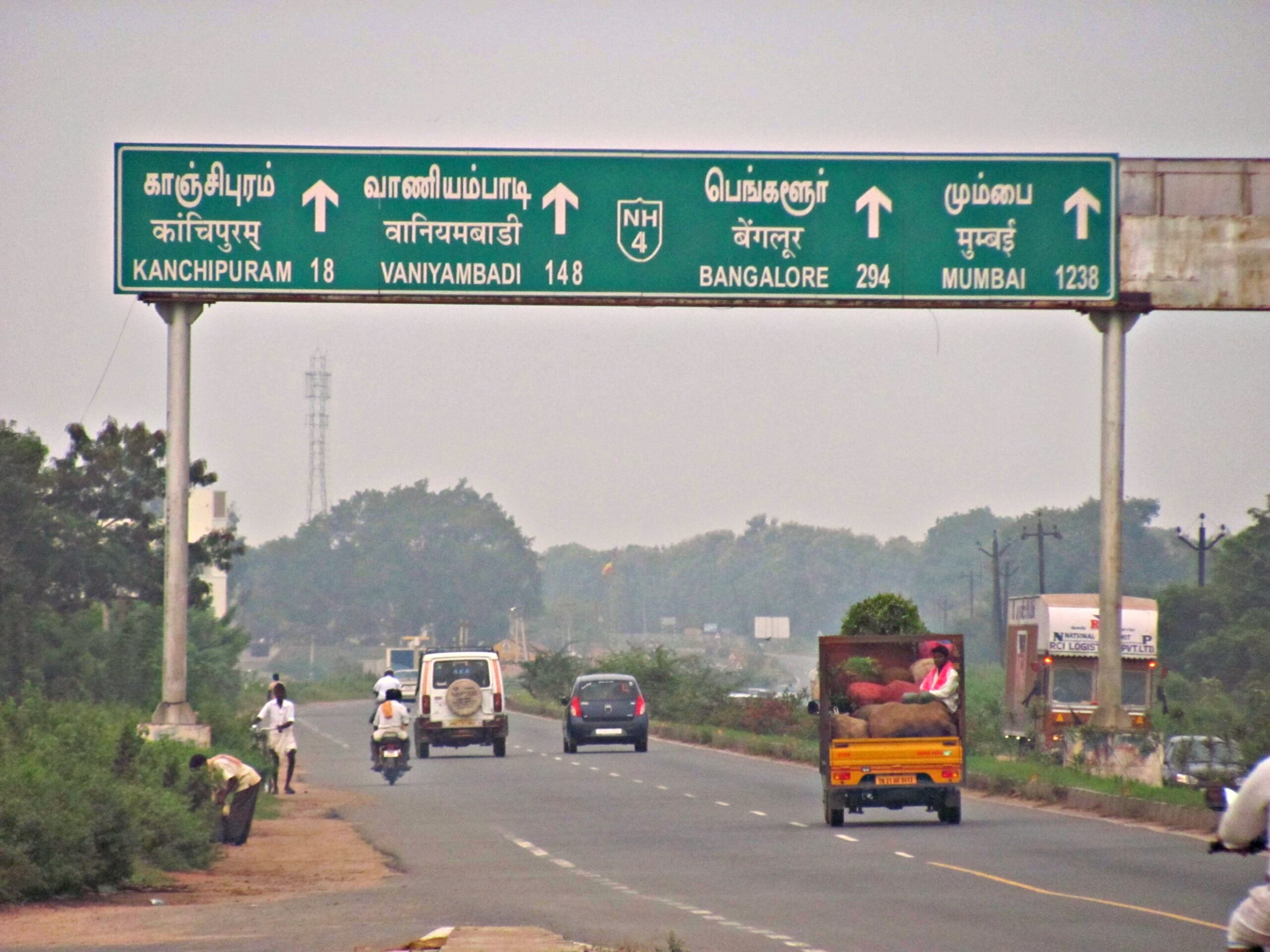
Currently, there are two highways connecting Bangalore and Chennai, one of which travels 335 kilometers through Ranipet, Kanchipuram, Chittoor, and Kolar, and the other which travels 372 kilometers through Ranipet and Krishnagiri.
Bangalore-Chandi Expressway: Contracts and Tender Status
Three phases and ten sections make up the Bangalore to Chennai Expressway. These tasks must be carried out simultaneously. The carriageway’s length has been subjected to the following representation, each of which will require additional work for the nearby roads.
Phase 1:
Location- Karnataka
| Length of Package and Section | Contractor or Status |
| Package 1Distance: 26.40 km from Bangalore to Malur (from starting point till 26.4 km). | Dilip Buildcon |
| Package 2 Distance: 27.10 km Malur to Bangarpet (26.4-53.5 km) | Dilip Buildcon |
| Package 3 Distance: 17.50 kilometers Bangarpet to Bethamangala (53.5-71 km) | KCC Buildcon |
Phase 2:
Location- Andhra Pradesh and Tamil Nadu
| Length of Package and Section | Contractor or Status |
| Package 1Distance: 25 km Bethamangala to Baireddipalle (71-96 km) | Montecarlo |
| Package 2Distance: 31 km Baireddipalle to Bangarupalem (96-127 km) | APCO Infratech |
| Package 3Distance: 29 km Bangarupalem to Gudipala (127-156 km) | Dilip Buildcon |
Phase 3:
Location- Tamil Nadu
| Package (Length) and Section | Contractor or Status |
| Package 1Distance: 24 kmsGudipala to Walajahpet (156-180 km) | Monte Carlo |
| Package Distance: 24.5 km Walajapet to Arakkonam (180-204.5 km) | KCC Buildcon |
| Package 3Distance: 25.5 km Arakkonam to Kanchipuram (204.5-230 km) | DP Jain Infra |
| Package 4Distance 32.1 km Kanchipuram to Sriperumbudur (230-262.1 km) | RCC |
Expressway between Bangalore and Chennai: Latest News
According to media reports, 20,000 trees will be cut down in Karnataka to make room for the 8-lane expressway connecting Bangalore and Chennai. About 71 kilometers of the entire length are covered by this section. However, Kolar’s dry region, where approximately 16,000 trees, including 9,805 horticulture trees, are planned to be cut down, may present this area’s most significant environmental disadvantage.
In November 2017, Union Minister Nitin Gadkari declared new projects on three elevated corridors totalling Rs. 1 lakh crore, including the Rs. 20,000 crore Bengaluru-Chennai Expressway, had been approved for Tamil Nadu.
The Tambaram-Chengalpattu elevated corridor, valued at Rs. 2,250 crores, is the most expensive of the three. It is followed by the elevated Chennai-Nellore corridor, valued at Rs. 1,000 crores, and the Poonamallee-Maduravoyal corridor, valued at Rs. 1,000 crores.
Additionally, in these locations, international standard bus ports will be installed.
On July 28, 2022, Nitin Gadkari, the Union Minister for Road Transport and Highways, informed the Lok Sabha that six out of ten development packages for the Bangalore-Chennai Expressway are currently under construction. Three construction packages have been initiated on a 106 km stretch in Tamil Nadu. The 12 km final package is given to a contractor in Andhra Pradesh. The building work will soon start. The project is expected to cost Rs 12,500 and be finished in March 2024. The 262 km long Greenfield Highway doesn’t have any signals and travels through the states of Karnataka, Andhra Pradesh, and Tamil Nadu. The highway allows for both cars and bicycles, drastically reducing travel time. The first expressway project in South India will significantly improve logistics movement because future logistics parks are being built in both Bangalore and Chennai.
Impact of the Chennai-Bengaluru Expressway on Real Estate:
The Bengaluru-Chennai Expressway’s construction and completion could raise the price of both under-construction and ready-to-move-in real estate due to its importance to South India’s infrastructure.
For instance, ten projects currently offer plots and independent villas in the Sriperumbudur area. Even though these properties are now quite affordable, the expressway’s construction may cause their prices to increase in the future.
Therefore, prospective homebuyers should be advised to exercise caution and make informed decisions before investing in this region’s real estate.
Rates for the Bangalore-Chennai Expressway’s proposed tolls:
The Bangalore-Chennai Expressway’s proposed toll rates are listed below.
- Rs. 0.65 per km for automobiles, jeeps, and light trucks.
- For large goods vehicles and minibosses, the rate is Rs. 1.05/km
- Rs. 2.20 per km for trucks and buses
- 3-axle trucks cost Rs. 2.40 per km.
- For the multi-axle trucks, the rate is Rs. 3.45/km.
- Oversized transport with more than seven axles costs Rs. 4.20 per km.
Bangalore-Chennai Expressway Spur Routes:
Shorter roads called spurs or spur routes connect to the main highway or expressway to increase connectivity. There are a total of four spurs that have been proposed for the Bangalore-Chennai Expressway project. Only three spurs, totalling about 2.050 kilometers in length, were approved. Check out the list of these spur routes below.
Spur 1: Distance of 95.63 kilometers; there are 14 kilometers of the expressway on the NH-4 that lead to Dobbaspet.
Spur 2: On the east side of Bengaluru, near Konadasapura, it is 3.58 kilometers away from NH-4.
Spur 3: The Kolar Gold Fields are 50.91 kilometers away, a distance of 6.47 kilometers.
Spur 4: 190.01 kilometers to the Katpadi, 7.44 kilometers away.
Though Designed for High Speed, its main priority is safety:
The BCE would have wider lanes of 3.75 mt each instead of the customary 3.50 mt, keeping motorist safety in mind. “Vehicles will travel at higher speeds, so more room is being made available to guarantee their security. The paved shoulder would be double the width of standard highways at 3 mt. The median would be depressed, like a valley in the middle of two roads and 21 meters wide. In the future, the road could be widened using this space, according to Mr Somashekar.
“We will monitor using CCTV. Overspeeding would always be constantly monitored by a third eye. However, the organization responsible for maintaining the road cannot take corrective action if it is overspeeding. According to another source, the police would be responsible for enforcing the law.
What distinguishes a regular highway from the BCE expressway?
Expressways are typically junction-free and access-controlled, meaning more safety for road users and avoiding towns, villages, religious and historical monuments, environmentally sensitive areas, forests, etc. Despite being built for higher speeds, highways allow drivers to maintain their speeds the entire way, preventing those who want to keep their time from being forced to find an explanation for the heavy traffic. Expressways would reduce transportation costs by enabling vehicles to be more fuel-efficient and avoid habitation.
The BCE would only have toll plazas at entry and exit points and use closed tolling, in which case drivers would only be charged for the distance they travel. “Since we’ve established entry and exit points, the fee that will be charged is predetermined. In regular highways, you would be required to pay for the entire stretch covered by that contractor, even if you only used 5 km of the tolled road, according to another source.
More extensive Economic Effects:
The BCE would eventually develop hubs and towns close to its alignment, even though no industrial corridors or special zones are currently planned along the alignment. “It is intended to deter development in the form of a ribbon along the road. In Tamil Nadu, there is no such development. A planner remarked, “Along highway roads, there are a lot of open areas to be seen. For those traveling the road to Bengaluru, the road’s wayside amenities and elevated construction would have something very novel to offer.
Conclusion:
Prime Minister Narendra Modi laid the first stone for the Bengaluru-Chennai expressway in May 2022. By December 2025, the expressway should be finished and accessible to the general public.